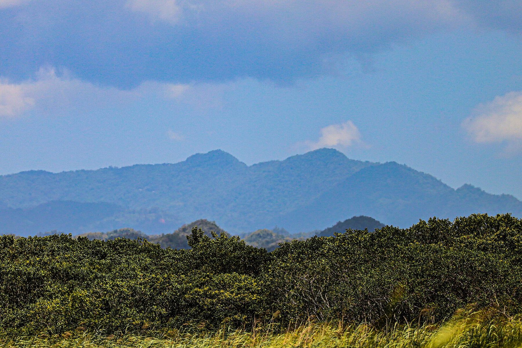
Read this first
Puerto Rico's state forests are run by DRNA, the island's natural resources department. Walking in is free and needs no permit. Camping needs one: $4 per person per night over age 10, $2 under, applied for in advance at the DRNA office in San Juan, not at the forest. No alcohol, no pets, no hammocks on trees. DRNA camping application After several hikers got lost in one week in 2025, Bosque Guilarte in Adjuntas now requires an orientation talk and a map before you enter; expect sign-in sheets elsewhere. Primera Hora, April 2025
- Leptospirosis. Bacteria from animal urine in rivers, mud and floodwater. Puerto Rico logged more than 2,400 reports and about 25 suspected deaths in a 13-month stretch of 2023 to 2024, with Lares among the worst municipalities. Cover cuts, do not wade after heavy rain, and see a doctor for a fever within two weeks of a river day. Primera Hora, February 2024
- Heat. Guánica's dry forest hits 100°F in the open. Hike it in winter, start by 8 am, and carry more water than feels reasonable.
- Season. December through March is driest in the mountains; September is wettest. The central mountains are cool at dawn and Lake Guineo in Toro Negro has recorded 40°F.
- Cell service is unreliable in the interior. Download the map, tell someone the plan, and carry a real flashlight if a cave is involved.
- El Yunque has its own rules and its own page: the rainforest guide.
Toro Negro and Cerro de Punta
The Cordillera Central's showpiece, about two hours from San Juan on PR-143, a slow two-lane ridge road. The forest office and campground are at km 32.4 in Orocovis. The reason to come is Cerro de Punta, the island's highest point at 4,389 feet. A paved service road leaves PR-143 near km 17 and climbs to the towers and an observation platform; walking it takes about half an hour, and on a clear morning you can see San Juan 75 miles away. Cerro de Punta
- Charco La Confesora
A half-hour out-and-back to a swimming hole under a small waterfall. The family pick on this side of the island.
- Camino El Bolo
The forest's main walk through tree ferns and sierra palms. One of the two trails Discover Puerto Rico lists as reliably open. Discover Puerto Rico: hiking trails
- Cerro Doña Juana tower
A Spanish-era lookout at about 3,500 feet with a 360-degree view if you arrive before the clouds. Mud is the hazard.
- Salto de Doña Juana
A 200-foot waterfall you can see from the bridge, with a short scramble to the base.
Camping: Los Viveros campground at km 32.5 holds 35 people with showers. The forest's own sources quote the DRNA $4 permit while a volunteer group lists $30 a night for a six-person site; call the ranger station before you count on either. Toro Negro camping
Nearby in Jayuya: La Piedra Escrita, a boulder in the Río Saliente carved with 52 Taíno petroglyphs between about 600 and 1200 AD, reached by a boardwalk to the riverbed. People swim there. Free. La Piedra Escrita
Guánica dry forest
A UNESCO biosphere reserve on the south coast, two hours from San Juan and under 30 minutes from Ponce, and the opposite of El Yunque: cactus, thorn scrub, 31 inches of rain a year, and nine of the island's sixteen endemic birds. Open daily 7:30 am to 4 pm, free, no reservations. Start at the visitor center at the top of PR-334 for a map and restrooms. Discover Puerto Rico: Guánica
- Fuerte Caprón
A stone lookout above Guánica Bay, where US troops landed in 1898. The best short hike on the south coast. Trailhead on PR-333. Hiking Project
- Ballena
Ends at Ballena Bay near Playa Tamarindo. Carry everything; there is nothing at the bottom.
- Lluberas
The long one, with side trails to limestone caves. Winter only.

Look for the Guayacán Centenario, a lignum vitae tree that may be a thousand years old. Afterward, the ferry to Gilligan's Island leaves from the Guánica waterfront; details on the day trips page.
Cañón de San Cristóbal
Between Barranquitas and Aibonito, about 80 minutes from the metro area. The Usabón River cut a gorge up to 800 feet deep through the mountains, and La Vaca Falls inside it, at about 300 feet, is the tallest on the island. The canyon was a town dump until 1974. Para la Naturaleza now manages most of it. San Cristóbal Canyon
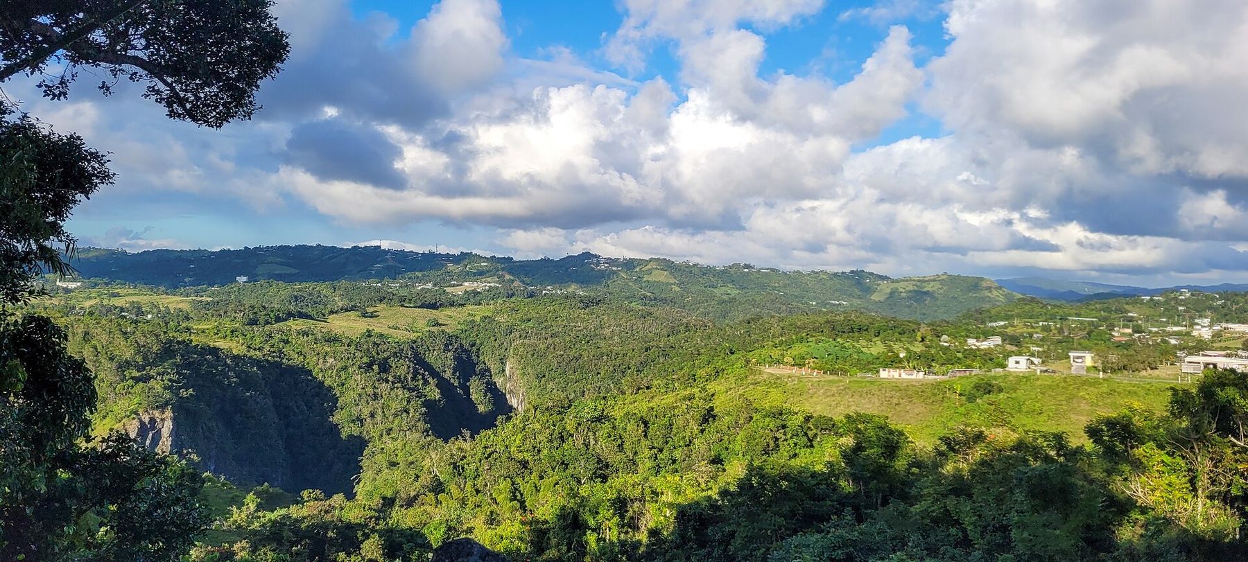
Two different trips share the name. The rim is free and self-guided from the Finca Don Félix gate near Helechal: the Suñé loop is an easy ridge walk with green markers, and the El Ancón lookout is about 40 minutes at a good pace over red mud and roots, rated for ages six and up, ending at a viewpoint over a 300-foot fall. Park on the road shoulder. Primera Hora, April 2026 The canyon floor is a different animal: steep and technical both ways, and it requires a guide and gear. Para la Naturaleza and Go Hiking Puerto Rico run descents, some with rappelling; canyoning trips require that you can swim. Discover Puerto Rico: challenging hikes

Waterfalls you can swim under
- Gozalandia
The island's famous swimming waterfall: a short paved path with steps from a grass lot where attendants collect $5 to $10 cash for parking, a lower fall with a deep pool and a rope swing, and an upper fall a quarter mile on. People jump from 30 feet; the locals who do it know the rock, you do not. Go early on weekdays. Opens around 9 am; there is a restaurant at the lot. Gozalandia
- Charco Azul
An easy ten-minute woodland walk to a blue freshwater pool under a small fall, with gazebos and a lot. Bring food and a trash bag; the trail is muddy and one stretch is partly blocked by a fallen tree. Weekday mornings are empty. Not the Charco Azul inside San Cristóbal canyon, which is a different place. Platea PR: easy swimming holes
- Las Paylas
Natural rock slides in a river ten minutes from the beach. On the rainforest page.
Guajataca forest and the Cueva del Viento
Northwest karst country between Isabela and Quebradillas, two hours from San Juan and one from Rincón, with 27 miles of trail, the largest network of any state forest. Most trails start at the ranger station on PR-446 (sources put it at km 9 or km 11; follow the signs). The interpretive loop, about 1.5 miles, climbs to an observation tower over a sea of limestone haystack hills. Trail 1 continues to the Cueva del Viento: 40 wooden steps down into an unlit cave with stalactites and bats, self-guided and free. The cave closed for renovation in 2020 and we could not confirm it has reopened, and the ranger office is not always staffed, so call DRNA before you drive out. Helmet, headlamp and real shoes if you go in. Guajataca State Forest
For strong hikers
Los Tres Picachos on the Jayuya and Ciales line is the island's hardest well-known climb: about 2,500 feet of gain over roughly 3 miles each way, 2.5 hours up, with ropes tied to trees on the steep pitches and mud that turns to landslide in rain. It is a Taíno sacred mountain. Long pants, a windbreaker, more water than you think, and ideally a local guide; the trailhead is not signed for visitors. PeakVisor: Los Tres Picachos
Easy days and family picks
- Las Cabezas de San Juan
A 400-acre reserve on the northeast tip with mangroves, a bioluminescent lagoon and the 1880 Fajardo lighthouse, which you can climb since its 2023 restoration for a view of Vieques and El Yunque. Visits are by trolley tour, rated level one, with night tours Thursday to Saturday. Reserve by phone, 787-722-5882, Monday to Friday. The Discover Puerto Rico profile still says it is closed for renovation; it is not. Primera Hora, June 2025
- Bosque Estatal de Río Abajo
Karst forest with picnic areas and short interpretive trails, and the José L. Vivaldi aviary where the Puerto Rican parrot came back from 13 wild birds. In 2024 the forest counted 230 wild adults and 25 nests, the most since releases began. Keep your voice down near the birds. Hours are not published; go in daylight. Platea PR, May 2024
- Cerro Gordo
A 3.4-mile sandy loop above a public beach with lifeguards, used by runners and mountain bikers, with ocean lookouts and, in winter, the occasional whale. Mind the coconuts. AllTrails: Cerro Gordo
- Cerro de Punta road walk
Thirty minutes on pavement to the top of Puerto Rico. Small kids can do it.